
Shaler Township Neighbors by Block
Public records can answer separate questions about the block around a Shaler Township address. The GIS Viewer identifies parcel geometry and the parcel identifiers that touch or sit near the focal lot. The property route adds assessment and address relationships. Recorder records explain a document party, plan, or legal description. A legally authorized voter list has a limited civic purpose, and the township's own permit and public-record routes are address specific. None of these sources makes a list of every person at nearby addresses.
| Block source | What it can show | Access and boundary |
|---|---|---|
| Allegheny GIS Viewer | Parcel polygons, street layout, PIN or MAPBLOCKLOT context, and map relationship | Public visual map. Parcel selection does not establish the people at an address. |
| County Real Estate Portal | Address or parcel record, assessment, and county-described owner-history material | Free address or parcel search. Owner name is not a free search field. |
| Official Record Search | Recorded party, document date, subdivision, plan, and document relationship | Public index, but address is not a direct recorder search field. |
| Pennsylvania Street or Walking List | Authorized civic list fields by street | $20 state request, identity, signed use affirmation, and no internet publication. |
| Shaler permits or RTKL records | Existing address-specific project or township record | Office, account workflow, or specific request. No broad historic web list was located. |
The useful distinction is role versus presence. A parcel record can associate an owner or mailing address with a county property record. It does not identify every nearby household member or prove that a named party currently lives at the physical location.
Map Shaler Township Neighbor Parcels
Allegheny County describes the GIS Viewer as an address-search and parcel-mapping tool with pan, zoom, layers, measurement, print, share, and basemap controls. The publicly inspected landing page does not advertise a named adjacent-parcel, buffer, or radius button. The supported method is visual: center the focal address, reveal the parcel layer, and select the polygons that meet or sit next to the focal parcel. A measurement may document map distance, but it is not a legal boundary decision.
The Allegheny GIS page identifies the county tools used to orient a Shaler Township block.
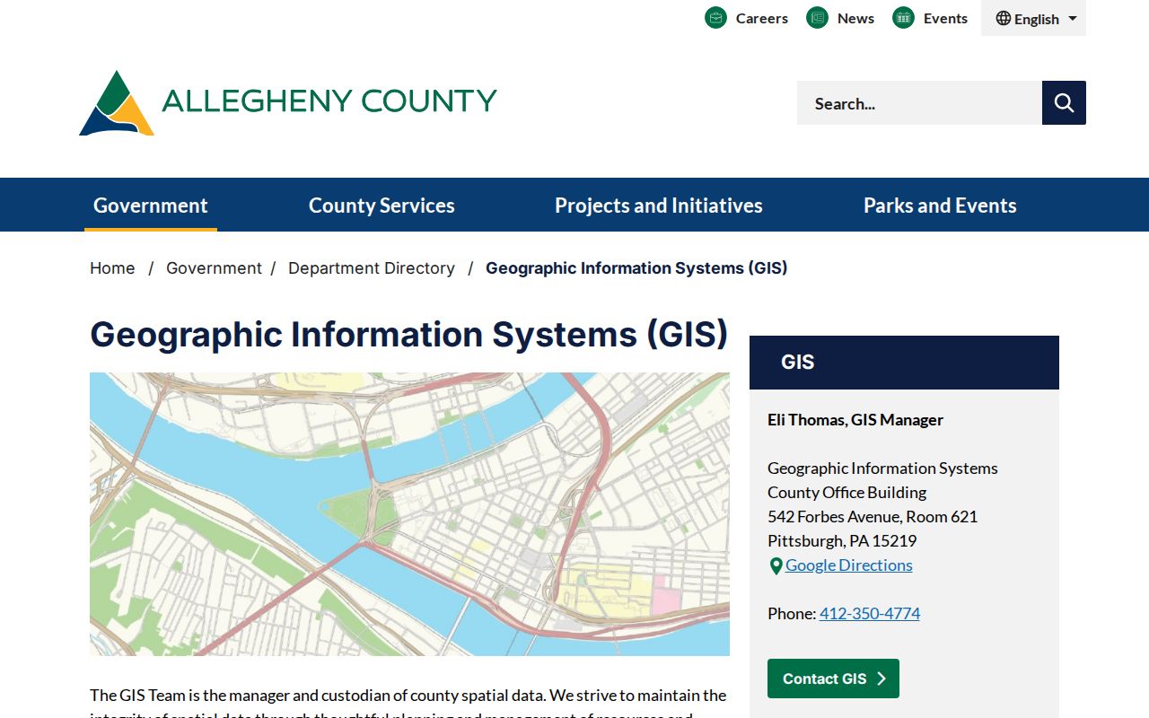
Use the map to collect parcel identifiers and spatial context before opening the corresponding county property records.
- Search the focal street address and confirm the municipality before interpreting the map result.
- Select the focal parcel, then pan or zoom slightly and click the neighboring parcel polygons one at a time.
- Save each PIN or MAPBLOCKLOT, its map relationship, and the date of the map view.
- Open each selected parcel in the Real Estate Portal, then compare its address roles and record date without assuming occupancy.
For a full named-street chain rather than the immediate block, use the Shaler Township Street Directory route.
Move Shaler Township Parcels into Records
The free Real Estate Portal uses Address or Parcel Number as its two search modes. An address search accepts a House Number, Street Name, and optional Municipality. The county says to enter a street name without a suffix and supports a street-name-only search for possible choices. That form supplies an address-based starting point, while free owner-name searching is not offered. The county reserves owner-name search, legal-description retrieval, and additional tax information for its subscription service.
Once a property is selected, keep physical property location, owner mailing address, and tax mailing address separate. Allegheny's property fact sheet says a parcel can have all three. A more detailed Property Record Card may be requested from LandHelp by email for free or obtained from the County Office Building copy desk for $0.25 per page. The card can add property detail, but it still does not establish who is currently in a household.
- Parcel
- A defined piece of land in the county property system, commonly tracked with a PIN or map-block-lot identifier.
- Situs address
- The physical property location used to identify the parcel, which can differ from mailing addresses.
- MAPBLOCKLOT
- A county parcel reference that helps connect the map polygon to property and recorded-document research.
Shaler Township Neighbors in Plans and Deeds
When parcel shape or numbering is unclear, the recorder chain can provide the better context. Official Record Search accepts a term for grantor or grantee, subdivision, document type, or document number, together with recorded-date filters. It offers index-only searching for entered words and an index plus OCR scope for phrase searching across document content. The property address itself is not a direct recorder field. Carry the parcel identifier, legal-description language, and a dated ownership clue into the document search.
Plans, subdivision records, block and lot maps, deeds, and property history cards can explain why a map parcel does not match a casual street-number assumption. Check the legal description or map-block-lot on each document before tying it to the focal parcel. A fence line, mailbox, or ordinary map label is not enough to establish a legal boundary or a record party's present relationship to the block.
The Division of Real Estate supplies copies at its Room 101 counter, by county mail request, and through online land-record copy options. Those routes are for an identified document or plan, not for a block-wide personal profile.
Voter Rules for Shaler Township Neighbors
Pennsylvania maintains a one-person registration-status route and separate authorized voter-list procedures. The status route is not a public street browser. The state request form offers a Street List with name, residential and mailing addresses, party, and active or inactive status, plus a Walking List that omits mailing address. Each electronic list costs $20 and requires identification and an affirmation of permitted statutory use. The request also prohibits publishing the material on the internet.
Voter participation history is not a ballot-choice record. Digital signatures and SURE registration numbers are excluded from the public-information list. The state keeps Address Confidentiality Program participant information protected, so an absent or substitute-address record is not an invitation to reconstruct a location from nearby sources.
Note: Allegheny Elections is the local office for registration questions, while the state form controls authorized list requests and their limits.
Shaler Township Neighborhood Association Context
The documented community layer is limited and should remain so. Shaler Township meeting records from April and May 2025 name the Hawthorne Neighborhood Association in discussion of Mt. Alvernia development. The township's 2026 Parks and Recreation Master Plan visibly labels the Beaverdale Neighborhood Association on an illustrative plan page. These public references establish neighborhood-association context, not a directory of residents or members.
Hawthorne Neighborhood Association
Named in April and May 2025 township meeting materials connected to the Mt. Alvernia development discussion.
No household roster, member directory, or township-wide association contact catalog was located in the official research.
Beaverdale Neighborhood Association
Named in the township's 2026 Parks and Recreation Master Plan on an illustrative plan page.
The inspected material does not establish membership, a roster, or an official public contact directory.
For current contact or participation information, check directly with the association or township rather than inferring membership from a public comment, plan, or nearby parcel.
Shaler Township Block Permit Records
Building and Zoning records can add dates to visible changes on a block. Shaler's public permit page lists building, accessory zoning, street-opening, sanitary-sewer tap, subdivision, zoning, fence, right-of-way, and other categories. Cloudpermit serves registered applicants who are working on a particular application, inspection, revision, or message history. It is not a public historic address ledger.
For an older record, contact Shaler Building and Zoning or use the township's public-records request procedure with an address, approximate date span, and record type. A permit or inspection can date a project. It cannot establish a complete list of people connected with the address.
Official Records for Shaler Township Neighbors
Official sources show the function and date of a record. Commercial neighbor-search categories often combine property material, mailing addresses, and older public items from different periods. They may be incomplete, stale, or attached to the wrong person. They are not source evidence. A parcel, document, or civic-record question is better answered from the custodian that maintains the underlying item.
| Official record route | Commercial compilation category |
|---|---|
| Shows a stated parcel, document, court, or civic-record role with the custodian and record date. | May combine records from different dates and sources with uncertain update timing. |
| Provides an office, portal, copy channel, or correction route for the underlying item. | Cannot replace a correction request to the actual county, township, state, or court custodian. |
| Requires the reader to respect public-record and confidentiality limits. | Should never be used as proof of every person at a nearby address. |
Shaler Township Neighbor Geography
Shaler Township formed in March 1847 from a larger area that included present Shaler, Millvale, Etna, and parts of Ross Township. Etna and Millvale incorporated separately in 1868. A historic parcel or family reference can therefore use an earlier locality, Allegheny County, Glenshaw, Pittsburgh, or another nearby postal name instead of a modern Shaler Township label. Compare the date, municipality, legal description, and nearby landmarks before treating two similar addresses as the same block.
A geographic mismatch can change the block results. Allegheny Address Management maintains the consolidated countywide address data and 911-supporting file, while Shaler has authority to assign or correct the actual municipal address. County updates and reviews pass through Address Management after municipal confirmation. Address records can also carry postal labels such as Glenshaw, Allison Park, Pittsburgh, Sharpsburg, or Etna that do not settle municipal jurisdiction.
The Allegheny Address Management page explains the county and local split behind a disputed address.
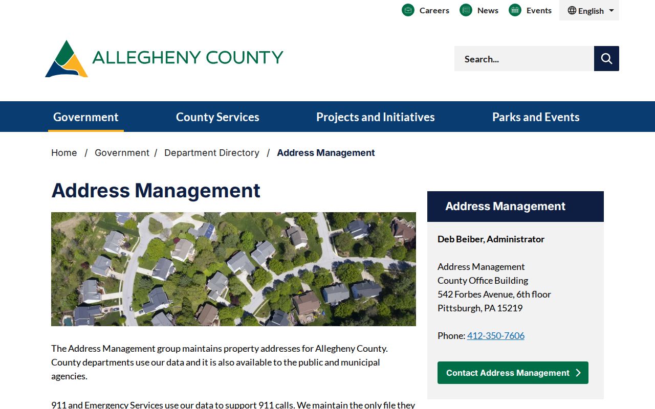
Confirm the municipality, parcel identifier, and source date before treating a nearby mailing label as proof that a result falls within Shaler Township.
Privacy Limits for Shaler Township Neighbors
Public parcel and document records do not open private account information, every household connection, or protected addresses. Pennsylvania's Address Confidentiality Program supplies a substitute mailing address for eligible participants in covered records and renews on a three-year cycle. Court files can be sealed, expunged, juvenile, or limited access. Township records may be redacted, and public voter lists have narrow use and no-internet-publication rules. A missing record can be a confidentiality outcome, not a gap to work around.
Use the custodian for a correction or access question: Shaler for municipal address assignment, county offices for property or address-management data, the Division of Real Estate for a recorded document, Elections for voter material, and the filing court for a docket or file. Preserve the source, date, and parcel reference instead of trying to infer a protected result.
Lawful use. Use block records for personal, civic, family-history, or safety purposes. Do not use public information to watch, stalk, harass, threaten, or harm any person.